Continue with onX Maps
 Continue with Facebook


Spokane
 WA
WA- Northeast Washington
- Spokane


Gems in Spokane - 1
Hiking Project is built by hikers like you. Add Your Gems

Recommended Routes in Spokane - 22
Hiking Project is built by hikers like you. Add Your Recommended Routes

 Intermediate
Iller Creek & Rocks Of Sharon Loop
4.8 mi 7.8 km • 1,250' Up 380.89 m Up • 1,243' Down 378.85 m Down

 Dishman, WA
 Intermediate/Difficult
Painted Rocks - Knothead Trail Loop
6.7 mi 10.8 km • 919' Up 280.12 m Up • 977' Down 297.94 m Down
Nine Mi…, WA
 Intermediate/Difficult
Pine Bluff Deep Creek Loop
5.6 mi 9.1 km • 735' Up 223.99 m Up • 740' Down 225.65 m Down
Nine Mi…, WA
 Intermediate
The Scenic Hills of Riverside
3.3 mi 5.3 km • 251' Up 76.63 m Up • 250' Down 76.28 m Down
Town an…, WA
 Intermediate
Deep Creek Canyon via Carlton Rd. Trailhead
4.8 mi 7.7 km • 486' Up 148.14 m Up • 486' Down 148.25 m Down
Fairwood, WA
 Intermediate
Best of the Dishman Hills Natural Area
4.4 mi 7.1 km • 674' Up 205.48 m Up • 674' Down 205.34 m Down
Dishman, WA
Intermediate
Carlson Road Loop
3.9 mi 6.3 km • 671' Up 204.56 m Up • 680' Down 207.4 m Down
Fairwood, WA
Spokane Hiking
- 430 Miles 692 Kilometers of Trail
- 22 Recommended Routes
- 1 Gem

- 99
Easy Trails

- 150
Intermediate Trails

- 77
Difficult Trails

Areas Within Spokane
Weather Averages
|
High
|
Low
|
Precip
|
Days w/
|
| J | F | M | A | M | J | J | A | S | O | N | D |
Trails in Spokane - 304
Hiking Project is built by hikers like you. Add Your Trails
|
0.5
mi
0.9
km
#1Trail 121 - Waterfall Loop
Intermediate
Spokane, WA
|
Intermediate
|
Spokane, WA |
2
|
|
|
1.1
mi
1.7
km
#2Eagle Peak Loop
Intermediate
Dishman, WA
|
Intermediate
|
Dishman, WA |
4
|
|
3.8
mi
6.2
km
#3Liberty Creek
 Difficult
Liberty Lake, WA
|
Difficult
|
Liberty Lake, WA |
17
|
|
4.2
mi
6.8
km
#4Summit Road
 Easy/Intermediate
Otis Orchards-East Farms, WA
|
Easy/Intermediate
|
Otis Orchards-East Farms, WA |
3
|
|
|
3.7
mi
6.0
km
#5Trail 110
Intermediate/Difficult
Otis Orchards-East Farms, WA
|
Intermediate/Difficult
|
Otis Orchards-East Farms, WA |
3
|
|
|
2.2
mi
3.6
km
#6Spokane Centennial Trail: McLellan Trailhead to Carlson Rd. Tr…
Easy/Intermediate
Country Homes, WA
|
Easy/Intermediate
|
Country Homes, WA |
2
|
|
3.9
mi
6.3
km
#7Columbia River Plateau Trail (Paved)
 Easy
Easy
Cheney, WA
|
Easy
|
Cheney, WA |
2
|
|
|
1.2
mi
2.0
km
#8Trail 160
Intermediate/Difficult
Otis Orchards-East Farms, WA
|
Intermediate/Difficult
|
Otis Orchards-East Farms, WA |
2
|
|
|
7.9
mi
12.8
km
#9Fish Lake Trail
Easy
Spokane, WA
|
Easy
|
Spokane, WA |
1
|
|
|
22.9
mi
36.9
km
#10North Idaho Centennial Trail
Easy
Otis Orchards-East Farms, WA
|
Easy
|
Otis Orchards-East Farms, WA |
1
|
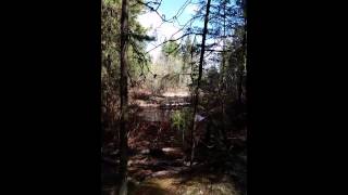
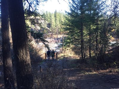
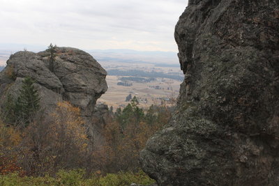
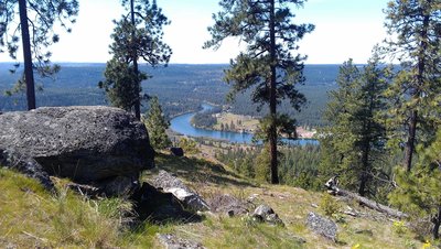
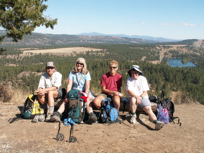
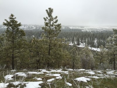
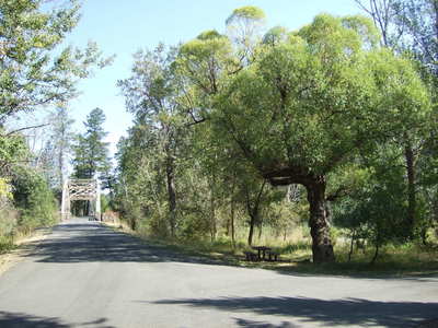
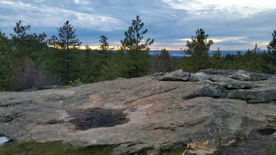
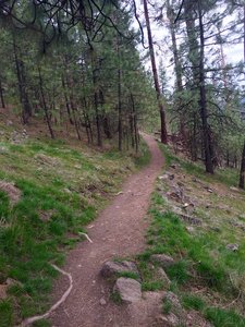
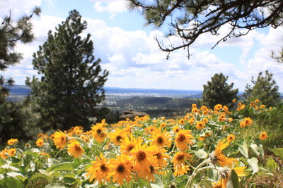
Photos of Spokane - 236
Hiking Project is built by hikers like you. Add Your Photos