
 Continue with onX Maps
 Sign in with Facebook


 Particularly Special Place


 Intermediate/Difficult
Intermediate/Difficult
Intermediate/Difficult
 Intermediate/Difficult
Land Manager: NPS - Shenandoah National Park
 Story of the Forest Trail
1.0 mi 1.5 km • 93' Up 28.21 m Up • 148' Down 45.1 m Down


 Lewis Falls Trail
1.8 mi 2.9 km • 706' Up 215.34 m Up • 451' Down 137.42 m Down
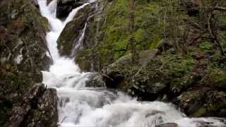
 Whiteoak Canyon to Upper Falls
4.7 mi 7.5 km • 941' Up 286.93 m Up • 942' Down 287.04 m Down
Stanley, VA
AT/Passamaquoddy/Furnace Springs Loop
2.8 mi 4.5 km • 591' Up 180.22 m Up • 605' Down 184.28 m Down
Bearfence Loop Trail
1.0 mi 1.7 km • 218' Up 66.37 m Up • 217' Down 66.27 m Down
Stanley, VA
Hightop Mountain Out-and-Back
3.0 mi 4.9 km • 868' Up 264.59 m Up • 867' Down 264.32 m Down


5 Comments