
 Continue with onX Maps


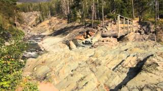
 Particularly Special Place


Rate Photo


Joan Pendleton
Jul 25, 2022
near Swiftcurrent,
MT
“Canada/USA border - monuments and cutline showing to the east on the far side of Upper Waterton Lake.”


 Great Divide Trail (GDT)
 Lakeshore Trail
 CDT: Goat Haunt to Waterton…


0 Comments