
 Continue with onX Maps
 Sign in with Facebook


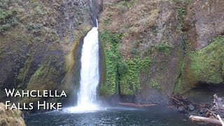
 Particularly Special Place


 Intermediate
Intermediate
Intermediate
 Intermediate
 Greenleaf Overlook
7.9 mi 12.8 km • 1,156' Up 352.34 m Up • 1,156' Down 352.37 m Down

 Wahkeena Falls-Devil's Rest-Angel's Rest Loop
8.7 mi 14.1 km • 2,859' Up 871.49 m Up • 2,857' Down 870.76 m Down
 Bridal…, OR
Cape Horn Loop
Bridal…, OR
Cape Horn Loop
6.7 mi 10.9 km • 1,344' Up 409.8 m Up • 1,345' Down 409.89 m Down
Angel's Rest Lookout
4.1 mi 6.6 km • 1,441' Up 439.21 m Up • 1,439' Down 438.72 m Down
Bridal…, OR
 Indian Point Loop
7.8 mi 12.6 km • 2,898' Up 883.39 m Up • 2,897' Down 883.11 m Down
Cascade…, OR
PCT: Herman Creek to Eagle Benson
18.1 mi 29.1 km • 4,399' Up 1340.93 m Up • 4,399' Down 1340.8 m Down
Cascade…, OR


0 Comments