
 Continue with onX Maps
 Continue with Facebook


 Particularly Special Place


 Difficult
Difficult
Difficult
 Difficult
Land Manager: USFS - Humboldt & Toiyabe National Forests Office
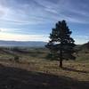
 Hunter Lake Loop
4.1 mi 6.5 km • 744' Up 226.88 m Up • 723' Down 220.51 m Down

 Houghton Loop
10.7 mi 17.3 km • 1,785' Up 544.06 m Up • 1,784' Down 543.78 m Down
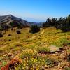
Chickadee Ridge
4.5 mi 7.2 km • 507' Up 154.4 m Up • 507' Down 154.56 m Down
 Incline…, NV
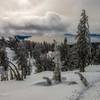
Spooner Lake to Tunnel Creek Station
Incline…, NV
Spooner Lake to Tunnel Creek Station
13.9 mi 22.3 km • 1,337' Up 407.54 m Up • 1,961' Down 597.85 m Down
Indian…, NV
Donner State Park Tour
3.2 mi 5.2 km • 249' Up 75.84 m Up • 246' Down 74.87 m Down
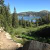
Tahoe Rim Trail
174.6 mi 281.0 km • 28,150' Up 8580.21 m Up • 28,163' Down 8584.1 m Down
Sunnysi…, CA


0 Comments