
 Continue with onX Maps
 Sign in with Facebook


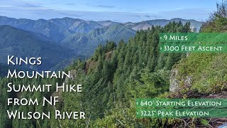
 Particularly Special Place


 Difficult

 Difficult
Land Manager: Tillamook State Forest
 Wilson River Trail: Kings Mtn Trailhead to Jones Creek Trailhead
7.4 mi 12.0 km • 1,521' Up 463.52 m Up • 1,677' Down 511.13 m Down
 Historic Hiking Trail Loop
8.0 mi 12.8 km • 1,071' Up 326.42 m Up • 1,075' Down 327.58 m Down
Hares Canyon North Loop
2.8 mi 4.5 km • 372' Up 113.45 m Up • 372' Down 113.41 m Down
 Elk Run Loop
3.4 mi 5.5 km • 49' Up 15.04 m Up • 50' Down 15.18 m Down
Munson Creek Falls
0.5 mi 0.8 km • 35' Up 10.68 m Up • 35' Down 10.67 m Down
Hug Point
0.9 mi 1.4 km • 62' Up 19.01 m Up • 62' Down 18.81 m Down


0 Comments