Rate Photo
Mark Woods
Aug 8, 2019
near Leadville North,
CO
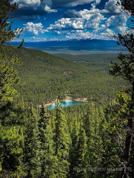
“Descent from the Mount Elbert Summit, less than 1 mile away from the trailhead parking lot, this view looking east. Missed it on my up, in darkness at 05:00 A.M. Nice finish to the day!”

 Continue with onX Maps
 Continue with Facebook


 Particularly Special Place


 Mt. Elbert Loop
 Continental Divide National…
 CDT: Sheep Gulch to Halfmoo…


0 Comments