Rate Photo
Steven Fahrenkrog
Sep 5, 2017
near Alta,
UT
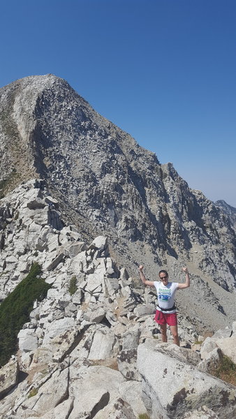
“View of the final ascent leading to the summit of the Pfeifferhorn.”

 Continue with onX Maps
 Continue with Facebook


 Particularly Special Place


 Pfeifferhorn East Ridge App…


0 Comments