Rate Photo
aaron moore
Apr 16, 2016
near Georgetown,
CO
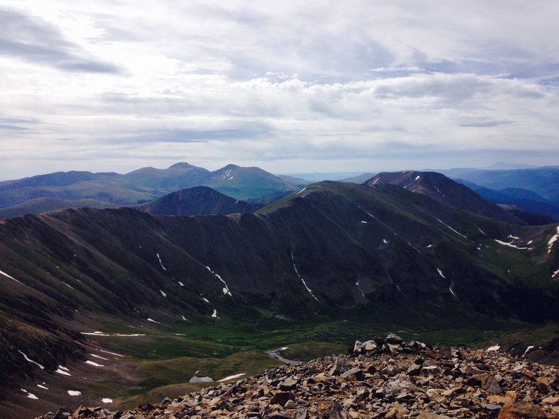
“On top of Grays. Mt. Edwards is out of view on the left. Argentine is in the middle and Squaretop is in the background.”

 Continue with onX Maps
 Continue with Facebook


 Particularly Special Place


 Continental Divide National…
 Grays and Torreys Peaks


0 Comments