
 Continue with onX Maps
 Continue with Facebook


 Particularly Special Place


 Intermediate/Difficult
Intermediate/Difficult
Intermediate/Difficult
 Intermediate/Difficult
Land Manager: National Park Service - Rocky Mountain National Park
 Cub Lake Loop
6.1 mi 9.9 km • 629' Up 191.66 m Up • 626' Down 190.66 m Down

 Estes Park, CO
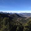
 Sky Pond
8.3 mi 13.3 km • 2,000' Up 609.68 m Up • 1,999' Down 609.26 m Down
Estes Park, CO
Loch Vale
6.0 mi 9.7 km • 1,083' Up 330.25 m Up • 1,086' Down 331.15 m Down
Estes Park, CO
Best of Bear Lake Area Loop
5.7 mi 9.1 km • 1,293' Up 394.25 m Up • 1,309' Down 398.84 m Down
Estes Park, CO
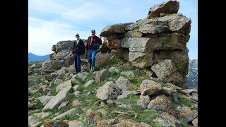
 Twin Sisters
7.5 mi 12.1 km • 2,392' Up 729.17 m Up • 2,388' Down 727.97 m Down
Estes Park, CO
Pole Hill Road
6.7 mi 10.8 km • 1,189' Up 362.32 m Up • 1,192' Down 363.38 m Down
Estes Park, CO


0 Comments