
 Continue with onX Maps


 Particularly Special Place


Rate Photo


Brendan Ross
Aug 18, 2015
near Sandia Heights,
NM
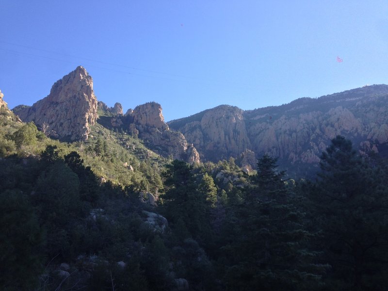
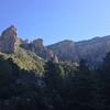
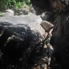
“The view of the Sandia ridgeline from the trail, with the tramway cables visible overhead. The upper station of the tramway is visible on the right side of the picture. The crash site is at the base of the large rock formation on the left.”


 Domingo Baca


0 Comments